Sonar Specifications | Shark-S455M |
Number of Beams | 10 beams (5 per side) |
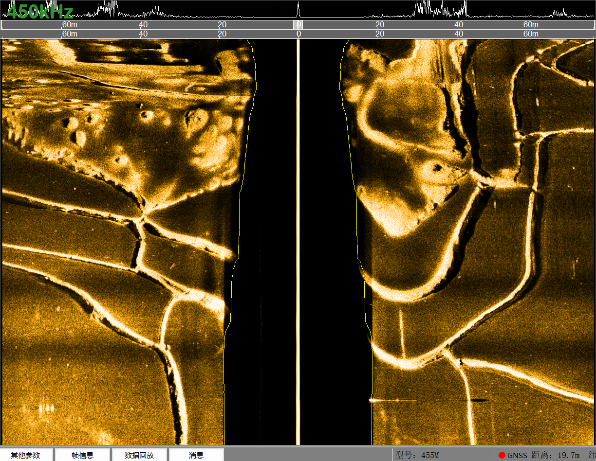
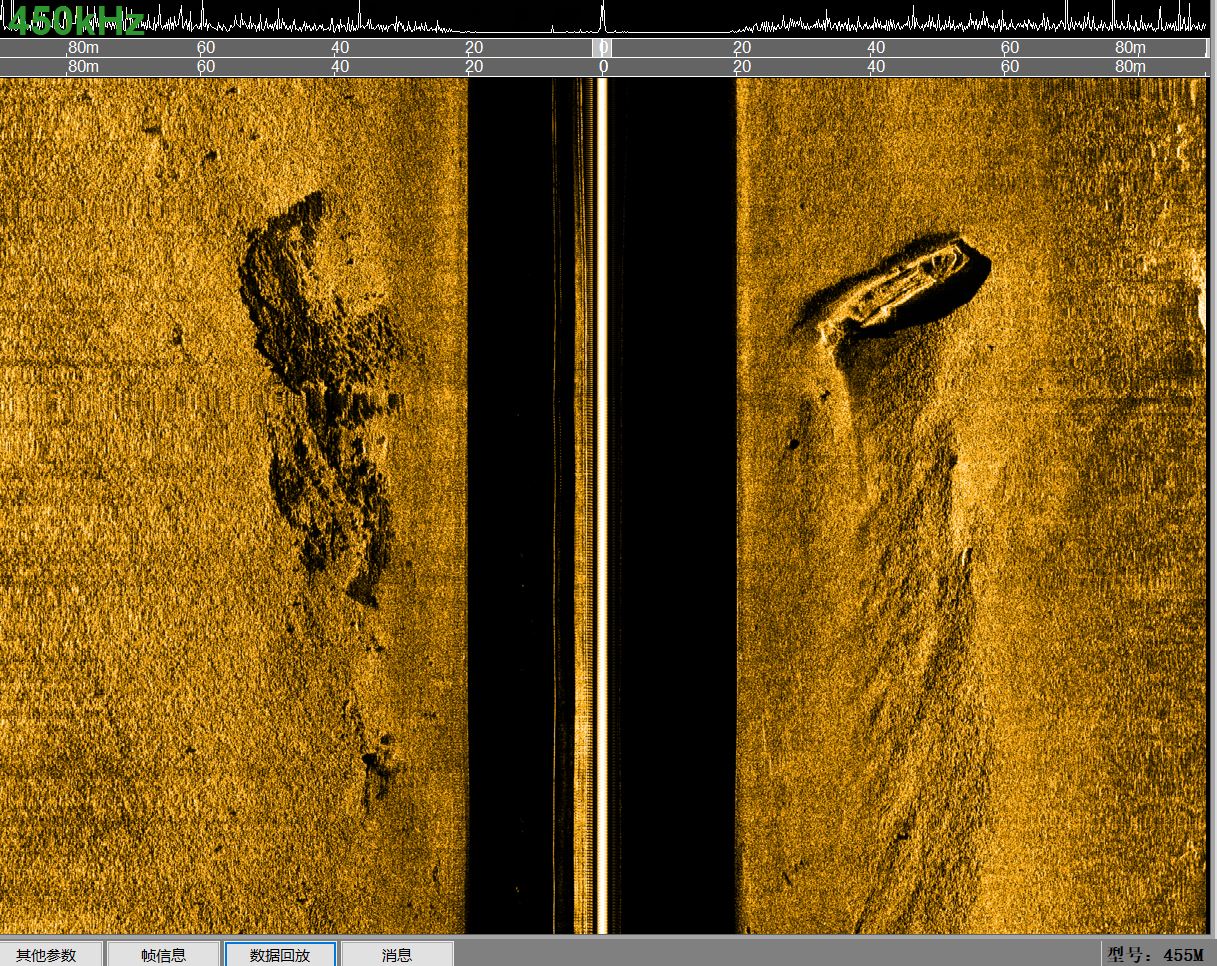
Operating Frequency | High-speed mode: 450kHz; Low-speed mode: 100 kHz / 450kHz simultaneous |
Pulse Type | LFM (Chirp) / CW, 60 kHz bandwidth |
Maximum Range | 450m @ 150kHz; 180m @ 450kHz |
Beamwidth | Horizontal: 0.56° @150kHz; 0.14° @450kHz; Vertical: 50° |
Resolution | Along-track resolution: 450kHz: 15cm @60m, 45cm @180m; 150kHz: 0.01h (range); Across-track resolution: 450kHz: 1.25cm; 150kHz: 2.5cm |
Transducer Mounting Angle | Best performance at 20° downward tilt |
Maximum Operating Depth | 2000m(Customizable up to 6000 meters) |
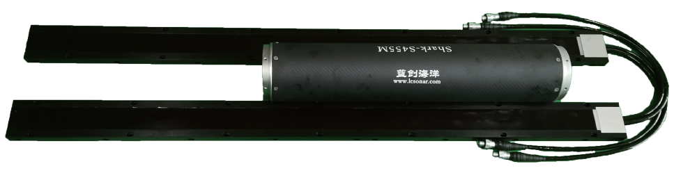
Transducer Dimensions / Weight | 1347mm(L)×86mm(W)×23mm(H) / 8kg |
Sealed Electronic Unit Dimensions / Weight | 500mm(L)×130mm(D) / 9kg |
Unsealed Electronic Unit Dimensions / Weight | 516mm(L)×174mm(W)×145mm(H) / 9kg |
Power Supply / Consumption | 18~36VDC, maximum 50W |
OTech Software | Real-time mosaicking; live online mapping; OTSS and XTF formats recording; SDK development support; continuous raw data output. |
Interface | High-speed Ethernet communication supporting real-time input of control commands; equipped with RS-422 synchronous interface signals. |
Operating Speed | High-speed mode: up to 10 knots; Low-speed mode: 2 - 6 knots |