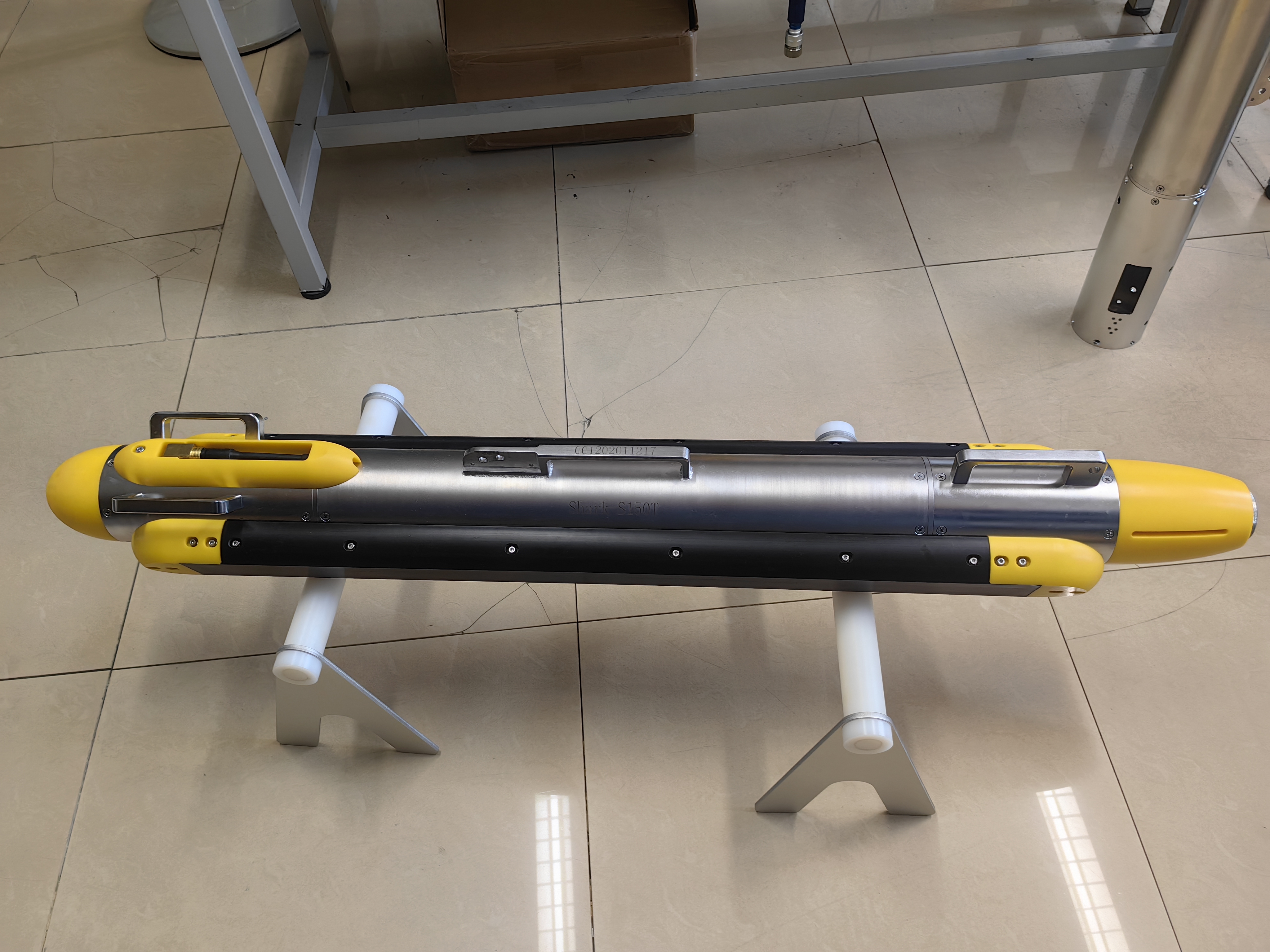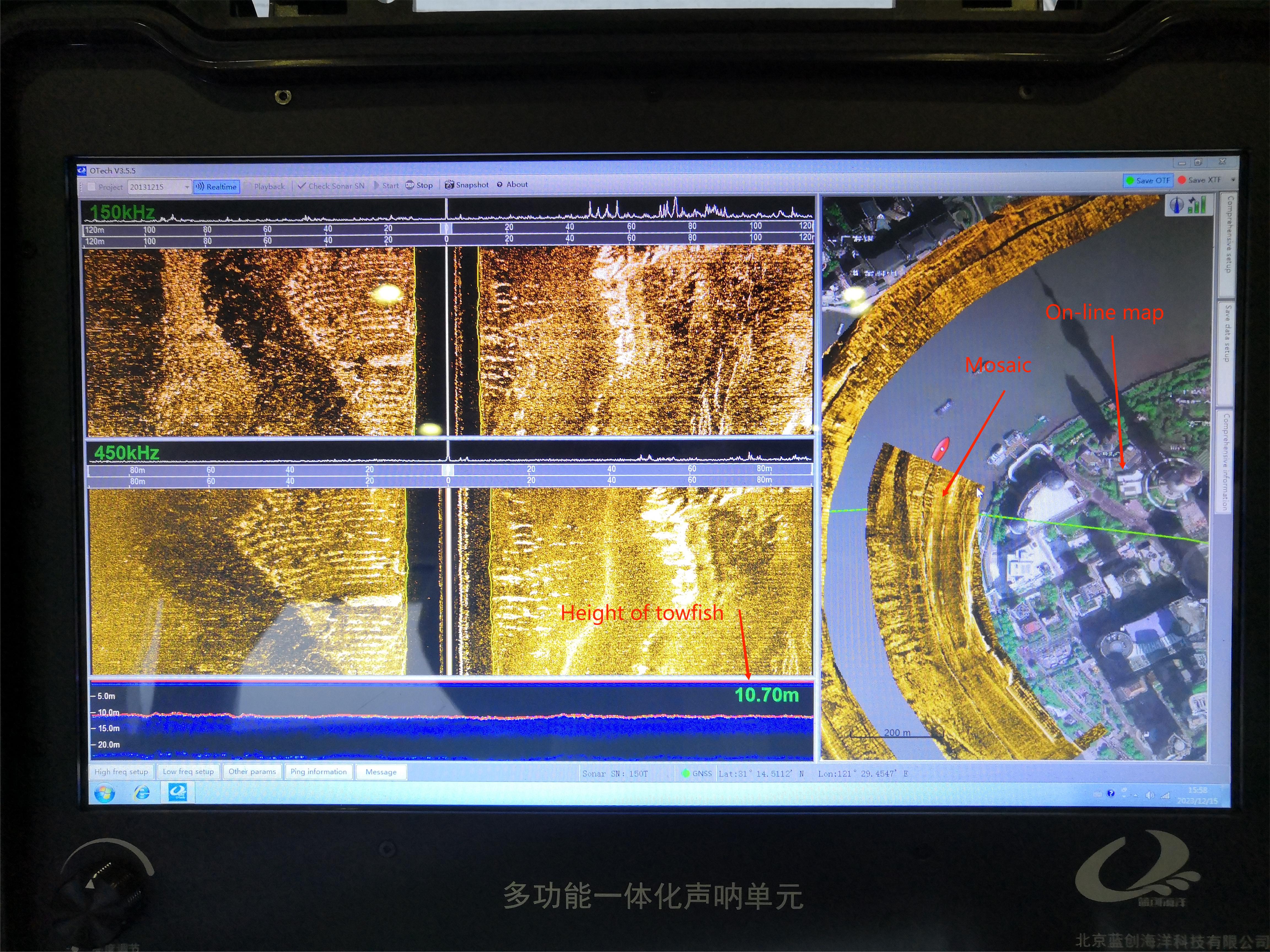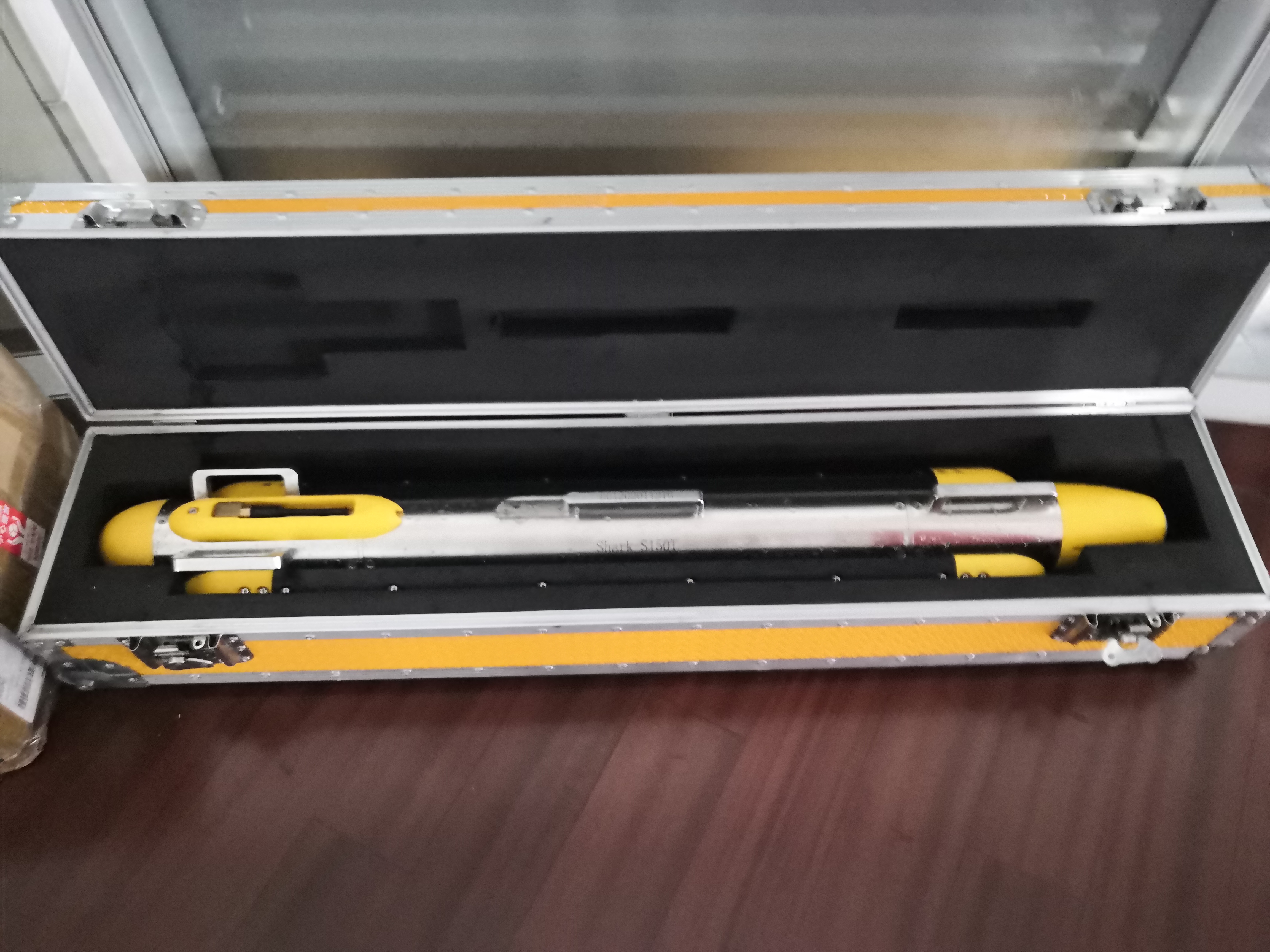


Shark-S150T tri frequency side scan sonar is a multi frequency and multi-functional sonar suitable for shallow and deep water measurement. It has three frequencies of 150khz, 450khz and 900khz, and can be combined freely. It is equipped with Chirp FM signal processing technology as standard, which can not only achieve a wide range of scanning, but also ensure ultra-high resolution imaging.
FEATURES
• Three frequencies at the same time to accommodate more measurement scenarios
• Chirp FM signal and Cw continuous pulse signal can be switched online in real time
• Built-in motion sensor for real-time display of underwater motion and orientation of the towfish
• Built-in single beam echo sounder to accurately track the height of the towfish from the bottom
• 316 stainless steel towfish, 2000m pressure-resistant
• OTech Autonomous Multi-function software updates regularly and is free of charge.
| Sonar Specifications | Shark-S150T |
| Working Frequency | 150KHz / 450KHz ; 450KHz / 900KHz |
| Signal Type | LFM (Iinear frequency moduIation) / Cw |
| Maximum Range | 450m @150KHz , 150m @450KHz , 75m @900KHz |
| Beam Width | LeveI: 0.6 degrees @ 150KHz, 0.2 degrees @ 450KHz; 0.2 degrees @ 900KHz verticaI: 50 degrees |
| Resolution | TracK resoIution: 0.01h (range) @ 150KHz, 0.003h(range) @ 450KHz&900KHz;verticaI TracK ResoIution: 1cm |
| Depression Angle | HorizontaI downward incIination 10 degree, 15 degree,20 degree adjustabIe, factory instaIIed 20 degree |
| Maximum Operating Depth | 2000m |
| Standard Built-in Sensor | sounder sounder, motion meter (pitch, roII, azimuth), pressure sensor |
| Towfish Size/Weight | 1264mm * 105mm (L * D)/34Kg (in air) |
| Deck Unit Size/Weight | 210mm*150mm*50mm / 1.5Kg |
| Power Consumption | 220/110vAC, average 45w |
| Software OTech | windows system, supporting NMEA 0183 positioningand navigation format data input;It can output OTss and XTF data at the same time |
| Tow Cable | kevIar reinforcing cable, standard Iength: 50m(customizabIe) |
APPLICATIONS
• Military applications: anti-mine search and target sweeping.
• Marine channel management: scanning for sunken ships and lost containers.
• Classification and analysis of marine geology and geophysical investigations.
• Archaeological investigations: exploration of underwater ancient cities and wreck searches.
• Route investigation for laying and maintenance of cables, pipelines, etc.
• Subsea topographic surveys for new energy sites, such as wind farms.
• Inspection of underwater hydraulic structures such as power stations and dams.


